
Poster - New York City Map
$14.00
ID
30608
-
 Free shipping over $69
 -
 Delivery 7-10 days
 -
 100% Satisfaction guaranteed


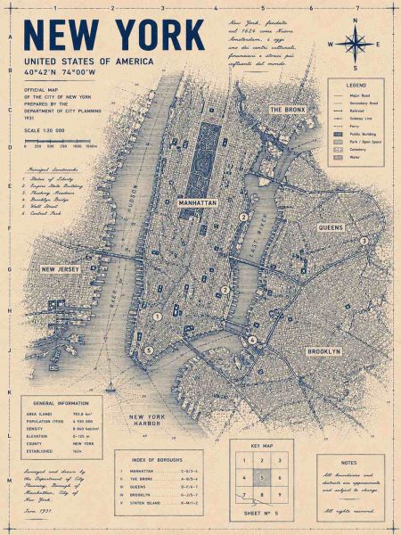
This wall poster features a detailed historic map of New York City, including areas like Manhattan, The Bronx, and Brooklyn. The map was officially prepared by the Department of City Planning in 1931 with coordinates 40°42'N 74°00'W. Product contains a single poster only.
- Printed on uncoated 230g paper.
- Does not include frame or hanger.
- Colours may differ slightly from those shown on photo due to differences in monitor settings.